The plan for the day was to go from Kuala Terengganu to Kota Bharu for lunch, reach Rantau Panjang at early afternoon and then continue onto Cameron Highlands through one of the best driving road in Malaysia.
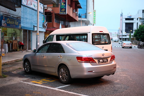
First stop...buy kopi o kosong. I am caffeine dependent, meaning that I actually do get severe throbbing headache without coffee.
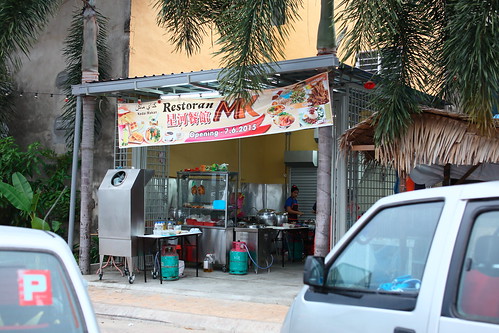
Next up. Jiak breakfast at Chinatown area in Kuala Terengganu. New noodle stall by the road side facing the sea.
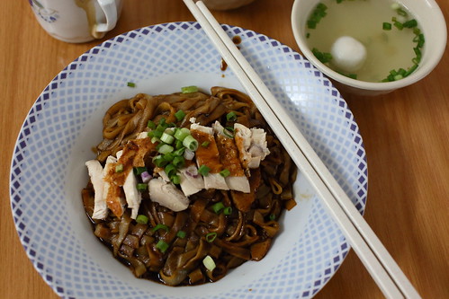
Noodle was pretty good. Texture was great.
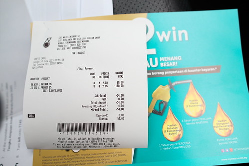
After feeding ourselves, it was time to feed the car. Amazing FC. 47L got us over 560km.
Time to move on...a glimpse of how driving on route 3 is like (if you know how to get to the minor roads beside federal route 3. These trunk roads run parallel to route 3 and usually in great conditions.
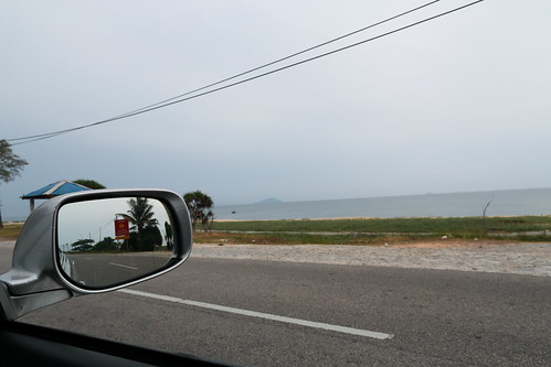
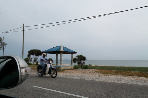
Continuing on back onto federal route 3. The road condition is good, much much better than some of the inner federal routes.
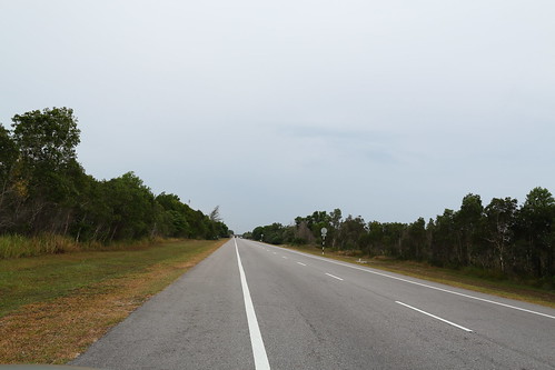
And then continuing onto another of those truck routes, T1 and T3. T1 is a nice place to drive through and it leads into an "island" that forms a lagoon with the main land.
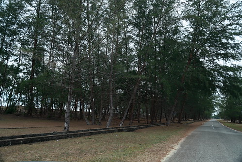
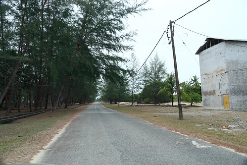
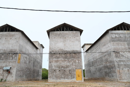
Bird's nest farm at the end of the road. Personally, this is not the type of road I will explore if I was driving a sg-plated car...especially one that does not exactly blend in with the crowd.
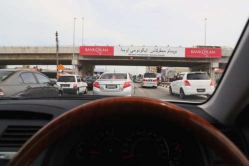
After a lot more driving, we finally reached Kota Bharu. The JAM was massive massive. The final few km into the city took almost 1 hour. The duration of the red traffic lights were so long that I was able to dig my camera out from the rear seat, snap snap snap, put the camera back, and...it was still red. I imagine it will be an irritating encounter if I was in a conti with the radiator fan going crazy in the stationary traffic on a 36c day.
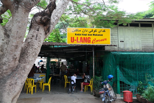
Reached U-Lang corner at mid-noon. Almost on time...almost.
Famous nasi-dagang.
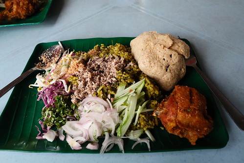
After lunch, it was time for desert. Bought lots of kueh for only 10rm. Sorry, there was no photo because we were running late. 2 hours behind schedule. Any more delays and we would be driving through the mountain roads in pitch dark condition.
With more driving, I finally reached my destination! This milestone signifies the end of federal route 3 @ km 1 in Rantau Panjang.
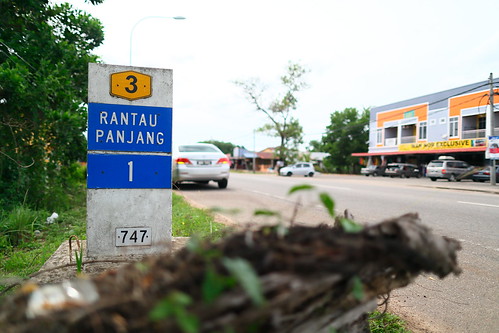
In another few hundred meters, the road sign will say:
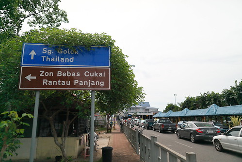
Yup, this is the Rantau Panjang crossing between Malaysia and Thailand.
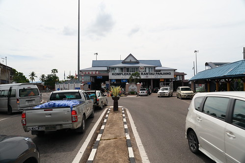
In case anyone is going there...you will find a BIG paid car park by the side of the complex. I believe I paid 2 rm.
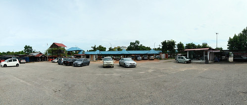
After seeing the Thai Border, it was time to continue the Journey to Cameron Highlands, where we will be spending the night (and the next 2 days).
Travelled on route 196 which will lead to route 4 and then eventually route 66 and then route 185 which will bring us to Cameron.
Route 196 leads to a famous keropok town. Bought keropok and continued on.
Before the intersection on route 4 that will lead to route 66, there is a BIG PETRONAS where every car stopped. I still had a little more then 5/8 tank of petrol. For some unknown reason, I decided that I should stop and fill up the car.
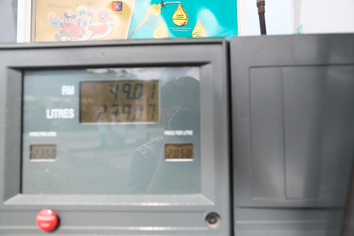
Used 24L of petrol from Kuala Terengganu to Kota Bharu to Rantau Panjang to this unknown big Petronas. This proved to be the MOST CORRECT CHOICE I EVER MADE on this trip because as we would find out later, the next petrol station we saw was at Cameron Highlands, just about 5 hours away!
The sort of road we went through...route 66...
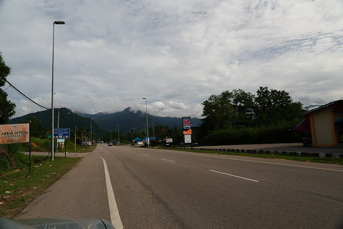
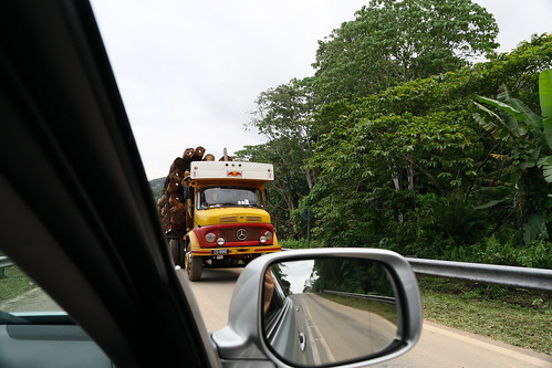
And then the road got narrower...and on certain stretches where there was landslide, we were left with 1 lane for two way of traffic. Giving way to a big timber truck...still happily snapping away...
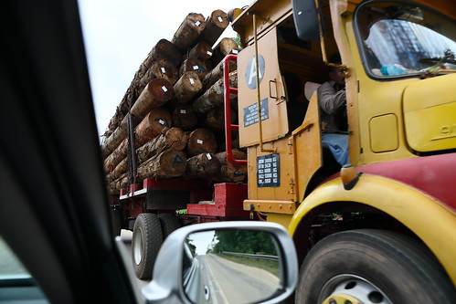
Little did I know that just 300m down, a whole segment of route 66 was CLOSED due to landslide.
A temporary bypass was constructed through the "jungle". Doesn't seem too bad, but when you consider that it was practically a mud and gravel road of extreme steepness and that we did not know where it led to, it was disastrous. The road closure signs were all in malay. Not a single word I understood. I had two options: U-turn or continue. I was so scared that I forgot to take photo. The terrain was so steep that those timber trucks had to be assisted by bulldozer to climb up.
After what seemed like eternity (which was actually only a few minutes, we finally went back onto the tarmac road. Scary experience and definitely not a pleasant experience if I was driving my own car. But if you were driving a rental car...nothing is too much.
Continuing on the road, we were met with another roadblock- a seemingly harmless road...
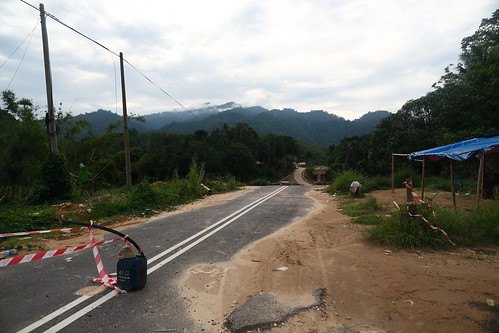
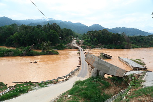
Turned out to be part of what was once a bridge. A temporary bridge was built and it was a new experience. Fearless, if you were in a rental car, as we were. Only issue was that this is a single lane 2-way crossing. This means that you better pray there was no car from the other way when you are crossing...
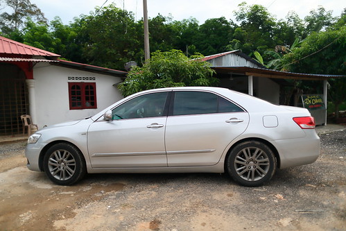
The camry after the ordeal. Amazingly reliable car.
From route 66 merging onto route 185 was EPIC.
Route 185 turned out to be the BEST DRIVE of the whole trip. MASSIVE 2-3 lane mountain roads with lots of nicely sculptured curve. It was so scenic that we had to bring the camry off the tarmac onto the gravel road for some photo taking.
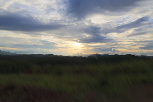
The fact that we haven't seen a petrol station in the past 3 hours also meant that I haven't relieved myself in the last 3 hours...while eating and drinking in the car...I decided to...in the vast wilderness...ahem ahem...I fed the mosquitoes too.
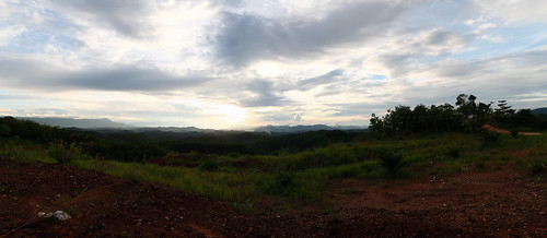
Due to the really really tight schedule, there was no photo taken, but I just want to highlight that route 185 is a MUST TRY road.
At about 8pm, we finally reached our hotel in Cameron, in pitch black darkness no doubt. Hungry, tired, bladder full. Used almost half a tank of petrol from the last fuel stop to here. We would have made it without that 24L of fuel from the last stop, but it would have been a drive full of anxiety. It was really no joke because we probably saw less than 20 cars on the whole 1.5 hour journey through route 185. Just imagine running out of petrol in darkness on such a deserted road...
Anyway, the hotel...Copthorne (or previously known as equatorial)...has very decent sheltered car park that faces the lobby. Although the lots were a little small.
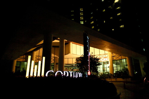
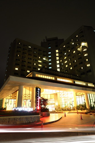
View outside the room. Decent but nothing to shout about.
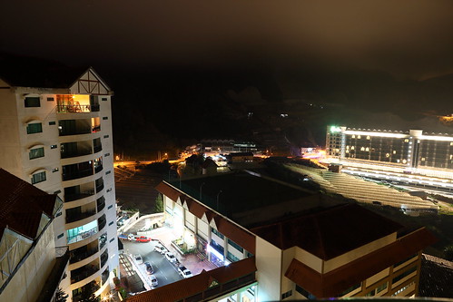
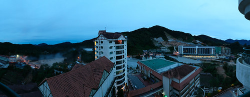
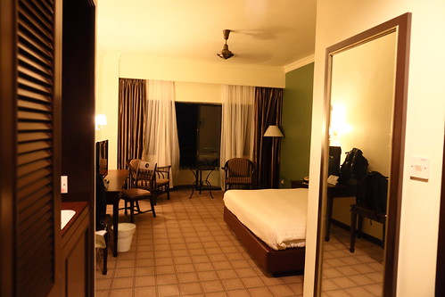
The room.
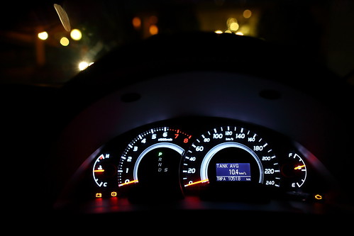
Mileage travelled for the day, about 500km. 13 hours on the road.
 Day 1: http://shoestringbudgetrc.blogspot.sg/2015/06/road-trip-from-to-rantua-panjang.html
Day 2: http://shoestringbudgetrc.blogspot.sg/2015/06/road-trip-to-rantau-panjang-thai-border.html
Day 3: http://shoestringbudgetrc.blogspot.sg/2015/06/road-trip-to-rantau-panjang-border-day3.html
Day 4: http://shoestringbudgetrc.blogspot.sg/2015/07/road-trip-to-rantua-panjang-border-day-4.html
Day 5: http://shoestringbudgetrc.blogspot.sg/2015/08/road-trip-to-rantua-panjang-border-day-5.html

No comments :
Post a Comment